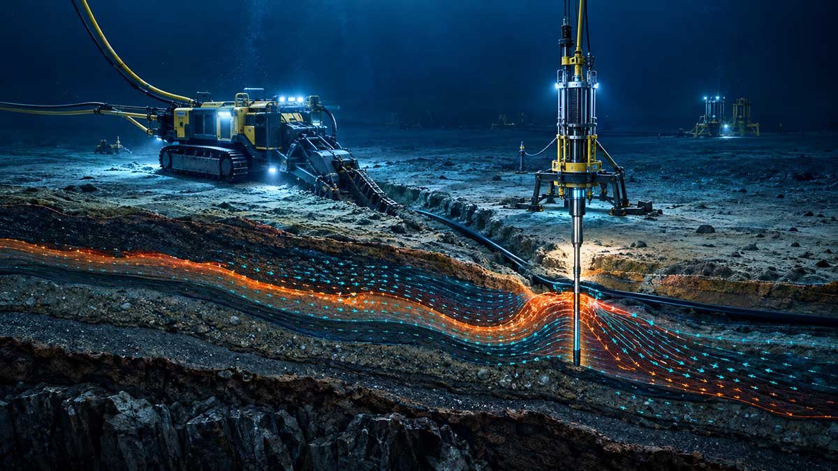
Independent Cable Burial Risk Assessment (CBRA): Defending Integrity Without Contractor Bias
Subsea power and telecommunication interconnectors are the high-capital lifelines of modern energy transition and international connectivity. Yet, industry telemetry from insurance consortia indicates that over 78% of all subsea cable loss claims originate not from internal manufacturing defects, but from external aggression such as commercial anchor drags, heavy beam trawling, dynamic seabed sandwave migration, and improper burial specifications during EPC installation.
GEOPROVE operates with a strict, uncompromising fiduciary standard: "The Brain, Not the Barge." We own zero survey vessels, zero trenching spreads, and maintain zero commercial affiliations with EPC installation contractors. This total independence empowers our geoconsulting team to perform uncompromised, peer-reviewed Cable Burial Risk Assessments (CBRA) that establish defensible, cost-effective Depth of Lowering (DoL) specifications. We protect asset owners against both catastrophic unburied cable exposure and predatory contractor change orders.
Probabilistic Anchor Strike Modeling
Monte Carlo spatial simulation of commercial anchor dragging depths based on AIS maritime vessel traffic density, anchor fluke geometry, and dynamic sea state forces.
Dynamic Sandwave Scour Calculations
Rigorous 2D/3D hydrodynamic sediment transport modeling to predict sandwave migration and mobile seabed crest stripping across high-energy straits over a 30-year design life.
Trenchability & Tool Selection Feasibility
Correlating high-resolution in-situ CPTu tip resistance ($q_c$), undrained shear strength ($s_u$), and boulder frequency to determine exact cutter vs. jet-trenching thresholds.
Archipelagic Permitting Integration
Harmonizing cable burial depth curves directly with Indonesian Pushidrosal hydrographic requirements and PKKPRL spatial sea zoning approvals before tender release.
Why Capital-Intensive Projects Require Independent CBRA
The strategic financial rationale for procuring client-side geoconsulting prior to issuing EPC installation tenders.
Preventing EPC Trenching Variations
Contractors frequently claim unforeseen ground conditions when encountering dense silts or calcarenite layers. An independent CBRA defines accurate soil shear strength baselines that make tender pricing watertight.
Optimizing Trenching CapEx
Blanket "burial to 2.0m" specifications force EPC contractors to price heavy mechanical chain cutters and slower spread day-rates. Segmenting the route into realistic Depth of Lowering zones routinely yields 20–35% CapEx savings.
Insurability & Warranty Defense
Global offshore underwriter syndicates demand rigorous adherence to DNV-ST-0359 and ESCA No. 14. GEOPROVE’s certified burial risk profiles ensure streamlined project financing and defensible insurance terms.
Quantifiable Impact on Offshore Cable Capital
Deploying rigorous pre-tender CBRA eliminates ambiguity, guarantees insurability under Lloyd’s Joint Rig Committee standards, and protects offshore asset viability.
Our 4-Stage Cable Burial Risk Assessment Process
AIS Traffic & Seabed Threat Audit
High-density 24-month AIS interrogation, identifying vessel deadweight tonnages (DWT), designated anchorage zones, fishing gear penetrations, and marine dump sites.
In-Situ Geotechnical Stratigraphy
Integration of seabed CPTu profiles, core logs, and geophysical sub-bottom profiler horizons into continuous 3D geotechnical strata along the complete cable alignment.
Probabilistic Penetration Modeling
Applying DNV-ST-0359 deterministic equations and Monte Carlo simulations to calculate anchor fluke embedment and trawl board gouge depths against soil shear strength.
Depth of Lowering (DoL) Specification
Synthesizing threat depths, dynamic scour allowances, and trenching tool limits into an ironclad Depth of Lowering (DoL) profile directly ready for EPC tender release.
EPC Contractor Proposal vs. GEOPROVE Fiduciary CBRA
Understand why relying on an installation contractor’s in-house CBRA creates severe conflict of interest.
| Assessment Parameter | Contractor Proposal / Standard Method | GEOPROVE Fiduciary Advisory |
|---|---|---|
| Burial Depth Profile | Tends to recommend deep uniform burial (e.g. 2.5m) to justify expensive spread day-rates or claim easy variation orders when refusing to trench hard ground. | Variable DoL Curve tailored precisely to localized AIS threat and ground strength (0.6m to 1.8m). |
| Trenching Spread Selection | Dictated by contractor’s available barge inventory, regardless of whether jet trenching or mechanical cutting is optimal for seabed geology. | Pure Tool-Neutral Analysis specifying required jet pressure (bar) and cutter pick velocity based on CPTu data. |
| Dynamic Scour Allowance | Frequently omitted or estimated using static look-up tables, leading to unburied cables exposed after 2-3 monsoon cycles. | Calibrated Hydrodynamic Modeling accounting for sandwave migration velocities up to 14m/year. |
| Regulatory Clearances | Often delayed until mobilization, causing expensive maritime standby days when military approvals stall. | Pre-Integrated Pushidrosal & PKKPRL spatial compliance embedded into the engineering specification. |
Seabed Geology vs. Trenching Method Compatibility

High-Pressure Water Fluidization (Jetting ROV)
Optimal for non-cohesive marine sands, soft silts, and normally consolidated clays. Fluidizes the seabed sediment to allow the subsea cable to sink under its own submerged weight.

Mechanical Rock & Hard-Clay Chain Cutter
Required when crossing shallow bedrock, calcarenite formations, coral pavement, or heavily overconsolidated stiff clays. Uses tungsten carbide cutting picks to mill a trench slot.

Towed Cable & Pipeline Burial Plough
High-speed simultaneous lay and burial in continuous soft-to-medium clay and loose sand terrains. Operates using high bollard pull vessels to cut a trench furrow.

Engineered Rock Placement & Concrete Mattresses
Mandatory remedial protection in non-trenchable zones, subsea pipeline crossings, shore approach landfall outcroppings, and critical megathrust fault zones where burial is unfeasible.
Frequently Asked Questions on This Practice
Under DNV-ST-0359, Depth of Lowering is calculated as the sum of three independent engineering components: (1) Anchor / Trawl Penetration Depth calculated via deterministic fluke mechanics or probabilistic Monte Carlo simulations against in-situ soil shear strength, (2) Dynamic Seabed Mobility Scour Allowance derived from hydrodynamic sandwave migration modeling, and (3) a Buffer Tolerance for trenching tool positioning inaccuracies. This produces a segmented, defensible profile rather than an arbitrary flat depth.
Allowing an EPC contractor to write the CBRA creates an inherent conflict of interest. Contractors often specify overly conservative burial depths (e.g., 2.5m everywhere) to justify mobilizing premium mechanical trenching spreads. Later, when dense seabed is encountered, they declare "unforeseen ground conditions" and claim millions in variation orders. An independent fiduciary geoconsultant protects the asset owner's capital by setting rigorous tender baselines.
In dynamic archipelagic straits, tidal currents exceed 6.5 knots, causing rhythmic sandwave crests to migrate horizontally up to 14 meters annually. GEOPROVE conducts multi-temporal bathymetric comparison and hydrodynamic sediment modeling to determine the maximum "trough envelope." Cable Depth of Lowering is engineered from the lowest historical sandwave trough level rather than the temporary mobile sand crest, ensuring the cable never becomes exposed mid-life.
In Indonesian waters, cable laying must adhere to national underwater corridor decrees (Kepmen KP No. 14/2021) and undergo rigorous bathymetric chart validation with Pushidrosal (Indonesian Navy Hydro-Oceanography Center). GEOPROVE's advisory team incorporates Pushidrosal charting standards and Ministry of Marine Affairs (KKP) PKKPRL marine spatial zoning directly into the route design, preventing costly military stop-work orders.
Yes. GEOPROVE deploys veteran Offshore Client Representatives (Senior Geologists and Hydrographers) aboard third-party survey vessels. Our representatives verify sensor calibration (IHO S-44 Order 1a), review daily CPTu reject criteria in real time, and ensure contractors collect defensible data that meets international underwriter standards.
Initiate a Pre-Tender CBRA Scoping Session
Submit your corridor coordinates or project parameters for an asset-independent CBRA preliminary evaluation. All inquiries protected under strict corporate NDA.